
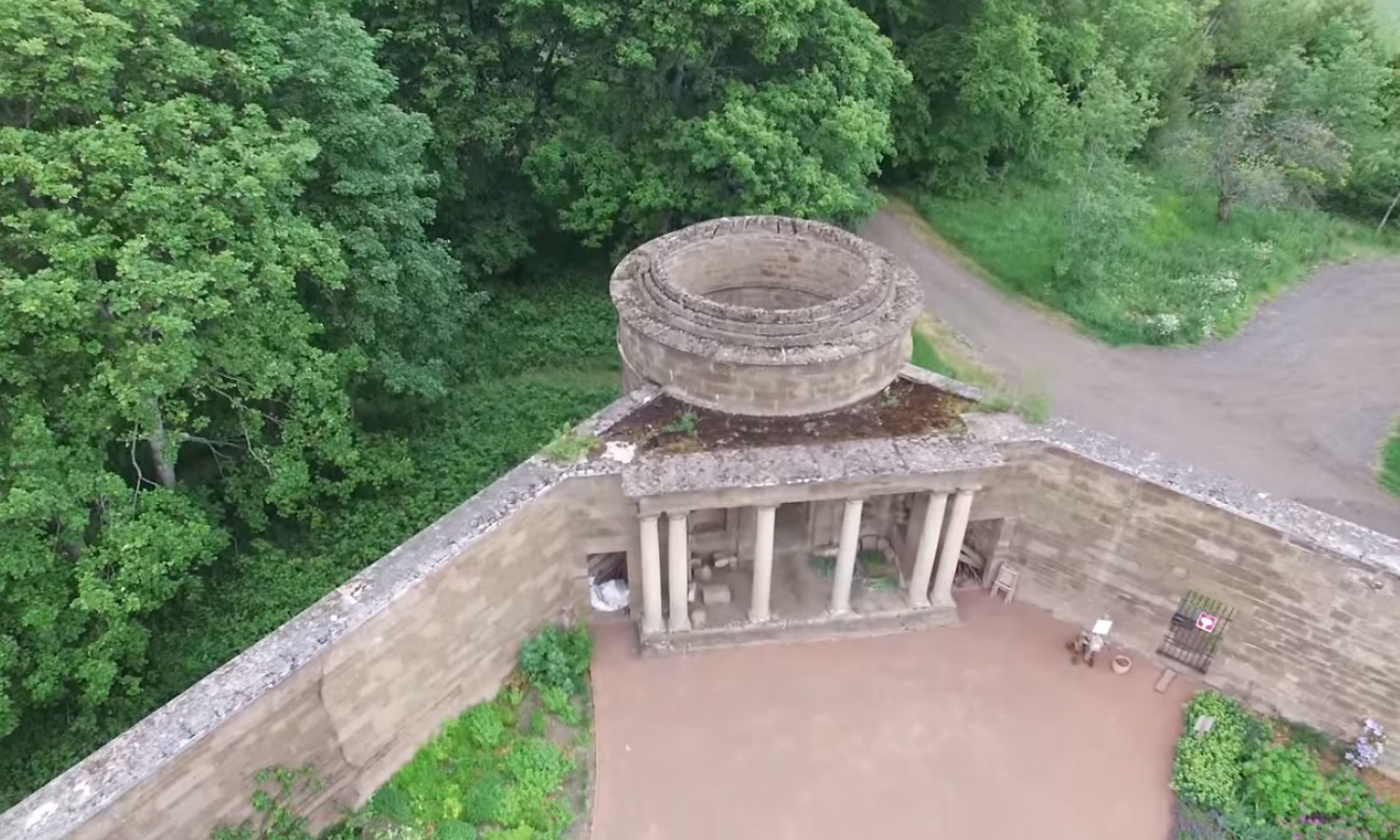
Often buildings are complexes of linked structures and features as well as being part of a wider landscape, with relationship between different structures and location within the wider setting only becoming apparent from above. In addition, some areas critical to interpretation or investigations are inaccessible to terrestrial-based investigations, which can be resolved by use of the drone, providing crucial detail for site or structure interpretation. This also applies to the monitoring of the condition of heritage structures, such as roof integrity or wall fabric degradation, which can be easily achieved by using drone. We also frequently use drone to create 3d models and plans of the structures as part of historic building record (HBR) process or take images for interpretation, promotional and educational material or other publications.
Whichever your requirement, you can rest assured that we asses each requirement on a case by case basis, giving honest and impartial advice of what can (or can’t) be achieved.
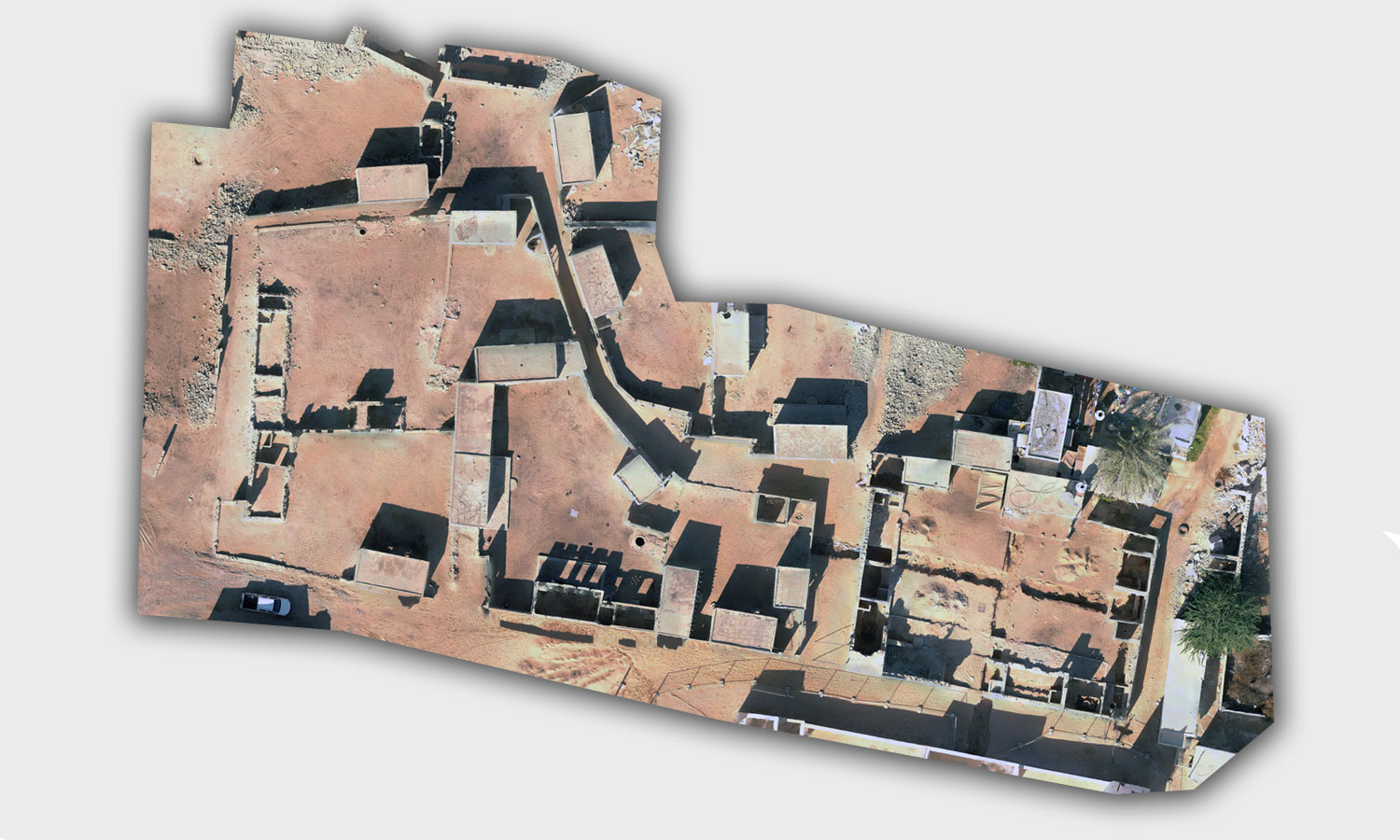
Al Jazeera Al Hamra village, aerial orthographic image of a compound for HBR purposes