
Archaeological Aerial Survey and Imaging
Pixel Perfect
We think about more than just photographs, but pixel perfect images and videos.

Innovative technology
We use the best, and keep exploring new ways to provide unique services.

Cost Effective
Skyscape Survey often works out cheaper than traditional methods of data and image capture.
Take a look at our work
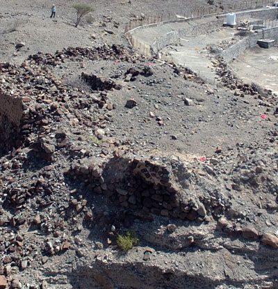
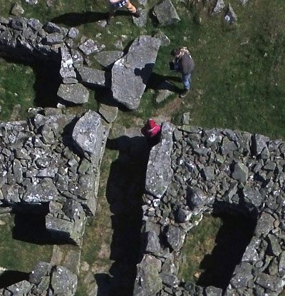
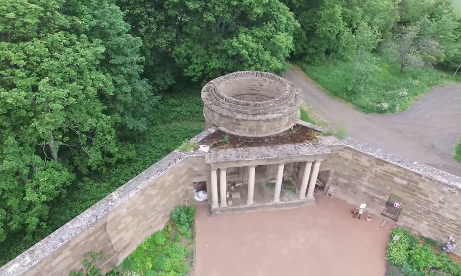
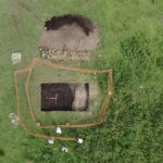
Building Record
Often buildings are complexes of linked structures, or part of a wider landscape – miss nothing with a Skyscape controlled SUA.
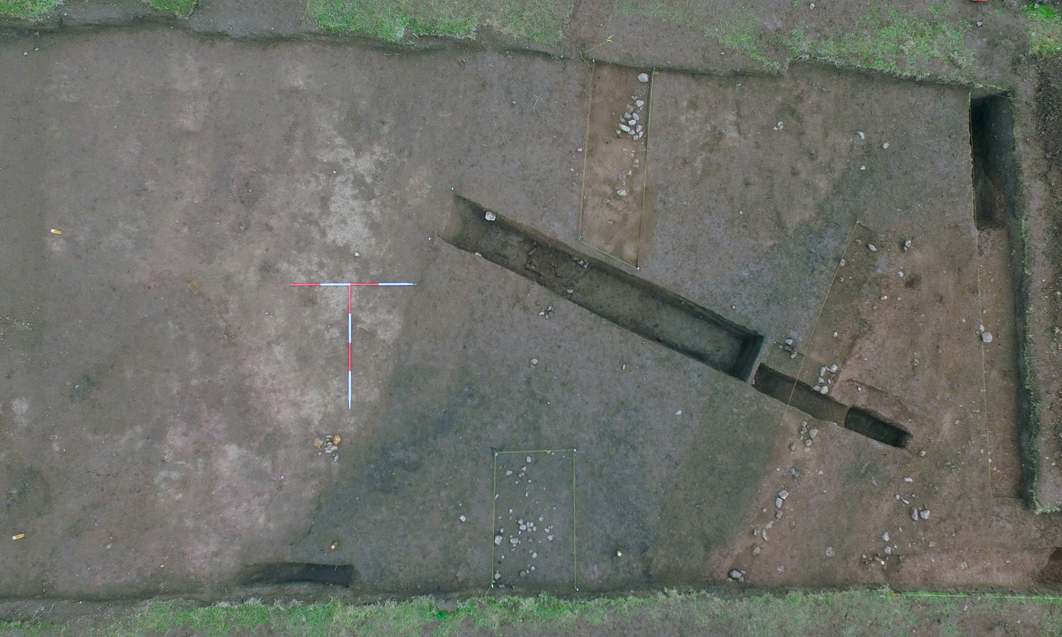
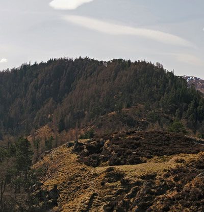
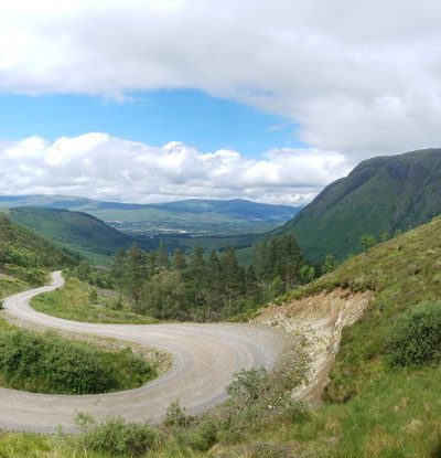
Site Images and Videos
Your site is a dynamic environment, so capture the moment as it happens, and make the most of new technology.
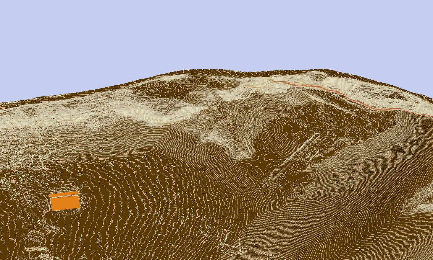
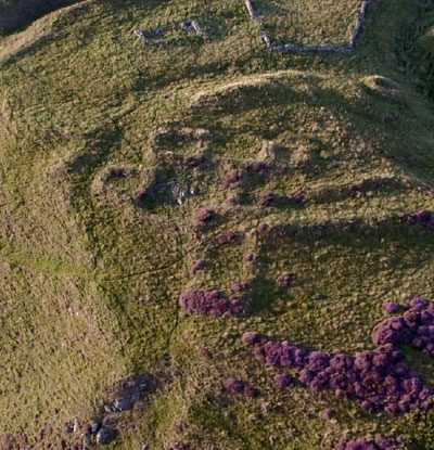
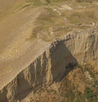
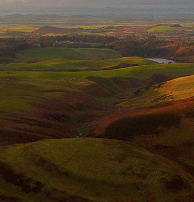
Topographic Survey
Survey large areas in less time than traditional terrestrial based systems with high accuracy.