
No matter what site you are working on or running, every site is a dynamic environment, constantly changing and requiring speedy responses in terms of planning or recording. Besides the standard excavation records, you might also wish to think about and plan ahead in terms of site promotion and publicity or the eventual publication, which can be substantially aided by the use of drone operated by professional archaeologists and pilots.
We can help you to:
- View your site from above and make strategic decisions based on your ‘eye in the sky’
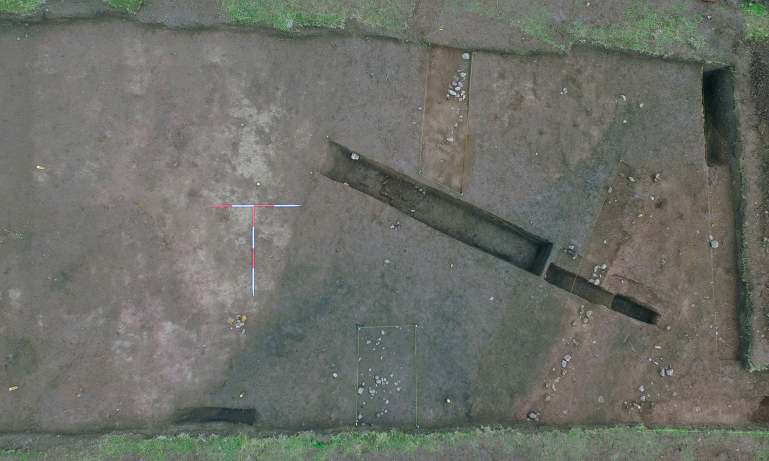
- Record your entire site in one dimensionally scaled orthographic image
- Take images that place your site into a wider landscape context
- Generate publicity photographs a short promo film that really showcase your project
Archaeological imaging needs an archaeologists eye — Skyscape Survey provides both
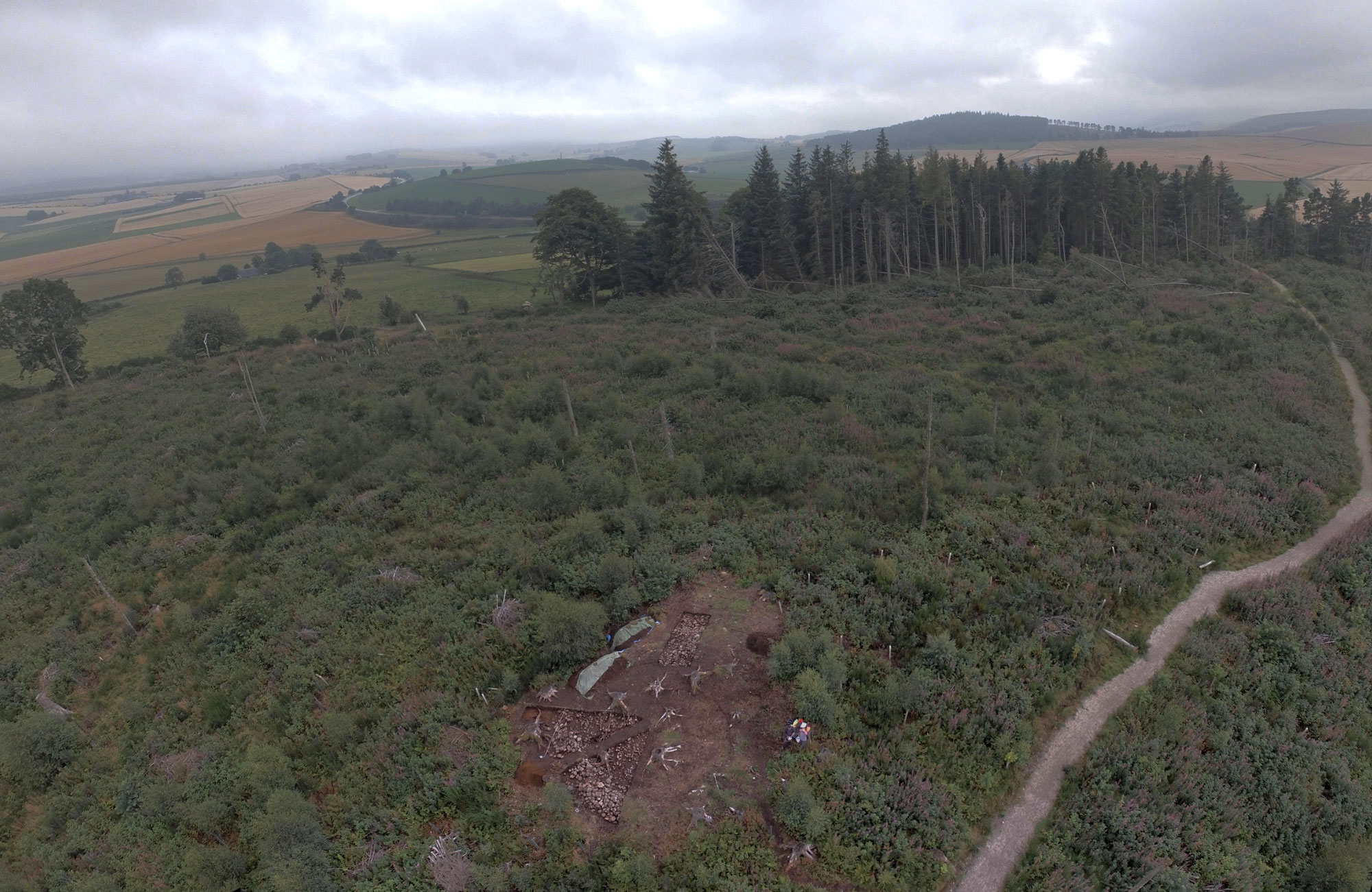
Battle Hill, Aberdeenshire, aerial shot of the ongoing excavations and wider landscape setting