
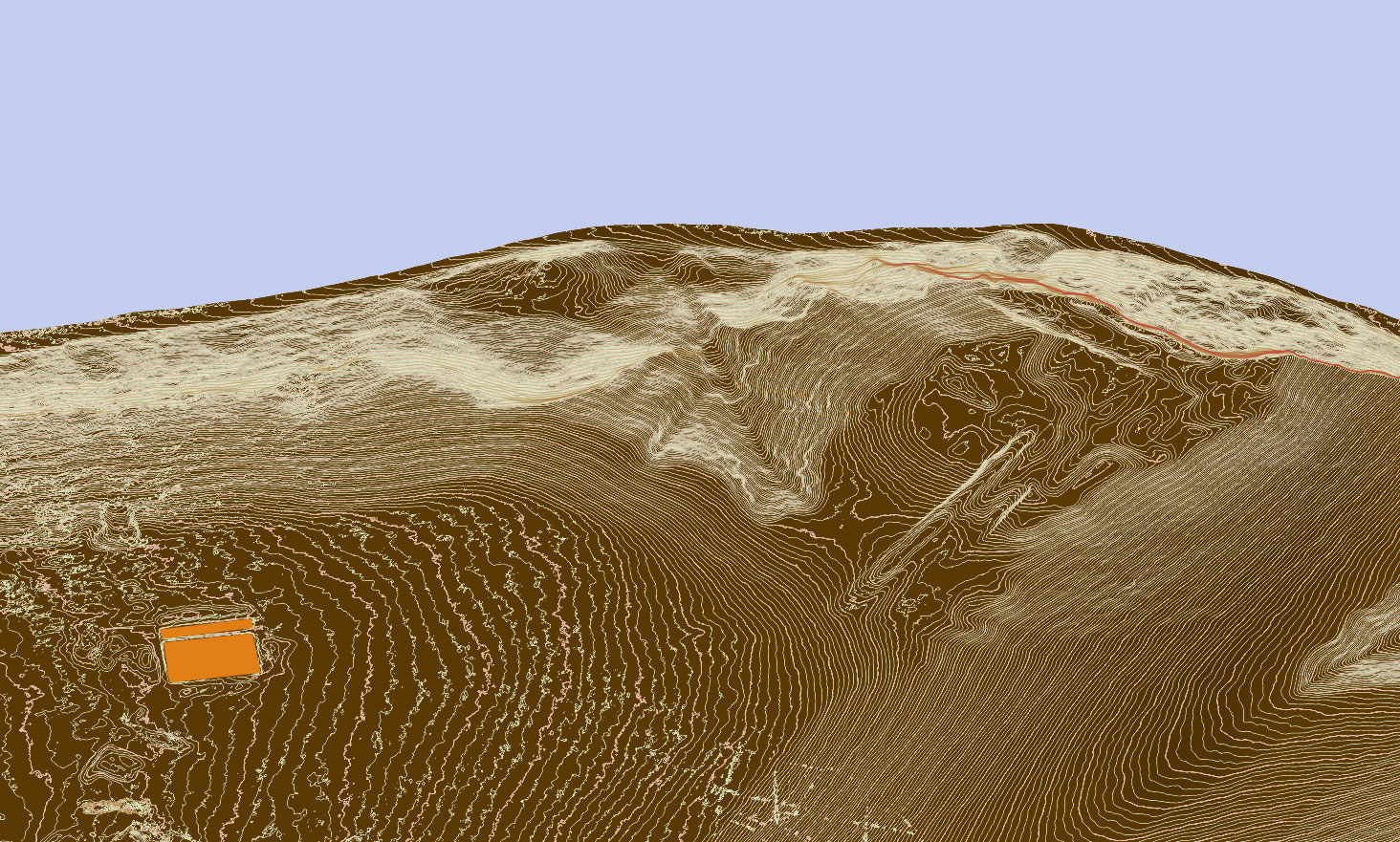
Using drone for topographic survey rather than total station increases both the speed and the accuracy significantly. You can now survey your site in hours, rather than days. Depending on the site/terrain conditions, terrestrial topographic survey can often be difficult as well as time consuming, and while there are some constraints to aerial survey also, particularly dense vegetation cover, this can be on usually resolved and overall the drone-based survey offers a cost-effective, more accurate and faster alternative.
Using the latest software and the data collection capabilities of the Hi-resolution cameras on SUAs, we are now capable of carry out a survey, process the data and provide raw survey images within a day. As an example, Skyscape Survey drones are able to cover an area over 1 hectare per 1/2 hour at high resolution to 5.0cm contour heights. As archaeologists ourselves, we can also easily discuss and understand your specific requirements as well as providing additional services, including interpretive imaging, contour mapping and GIS compatible georeferenced files – both Raster and Vector.
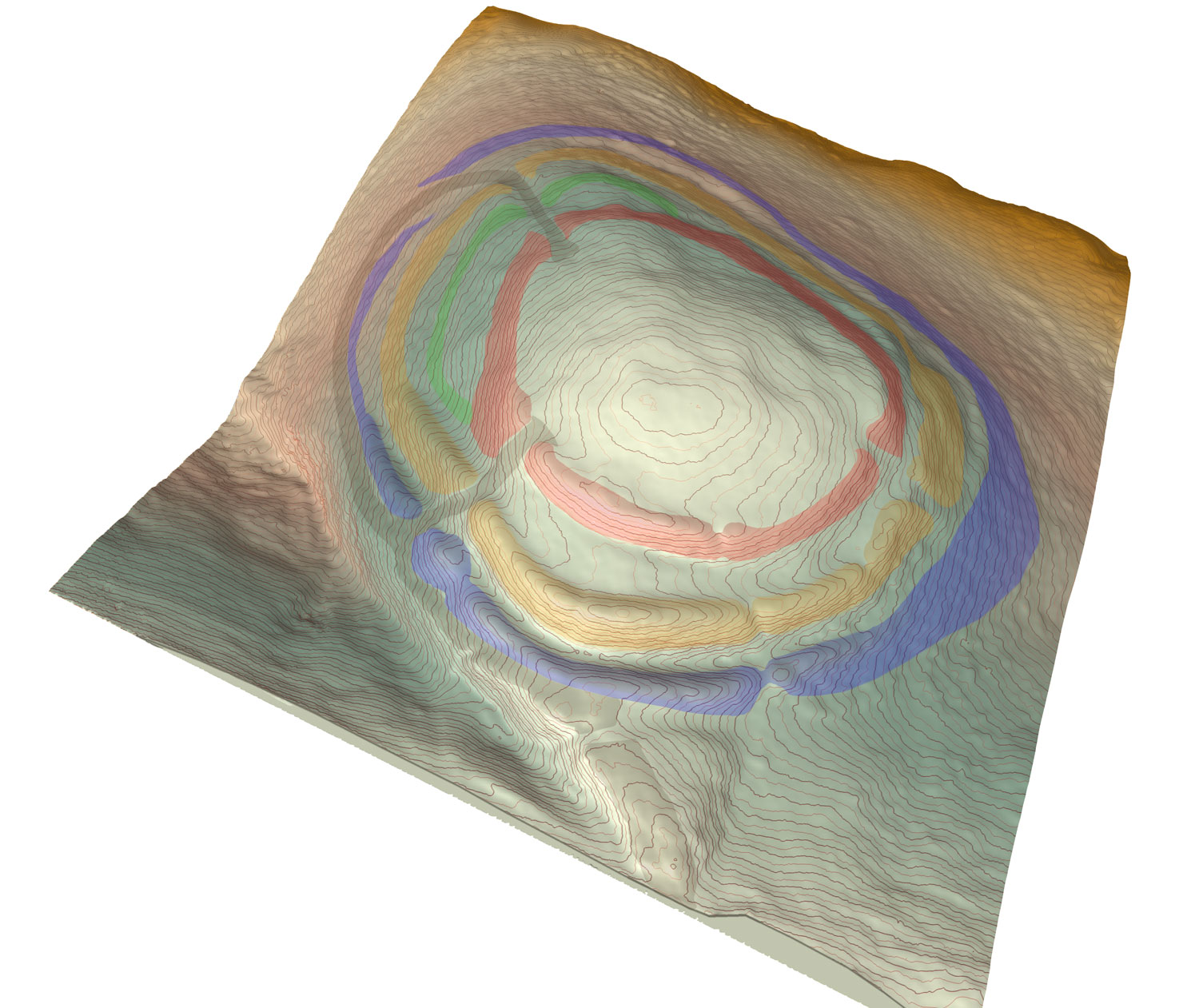
Enhanced and phased contour plan of the White Castle hillfort, East Lothian