
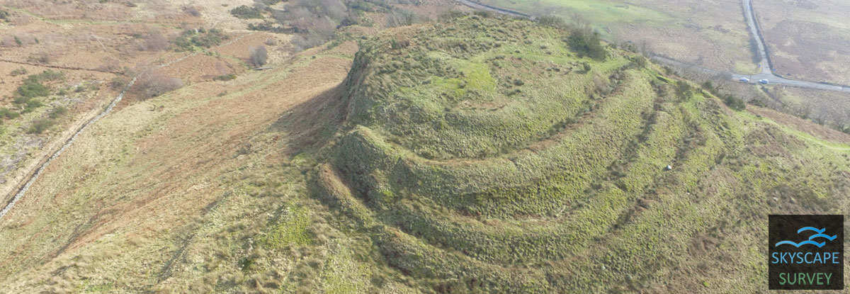
Set on a knoll on the southern slopes of Ben Ledi, the site is situated on open ground with a steep cliff to the south, Dunmore was first planned and described by Christine Maclagan in the 1870s, Christison in 1900 and then subsequently resurveyed by RCAHMS at 1:2500 as part of the Marginal Land Survey (Field Visit 10 June 1957). However, this new survey has allowed a detailed examination of the site, and prepared the way for community investigation.
Read more here: https://canmore.org.uk/site/24375/dunmore
.
A topographic survey, and imaging required to understand the the site and allow for the future inveistragi=tion by community projects. Aerial imaging was essential to place it into landscape context and provide a detailed survey of the site but would require careful flight planning to gather enough height data of the interior.
.
-
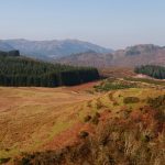
- View to north
-
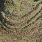
- Vertical image of rampart banks
-
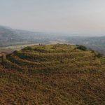
- View to south
-
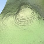
- 3D draped contour model
-
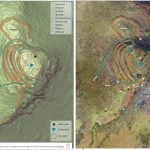
- Information and interpretation