
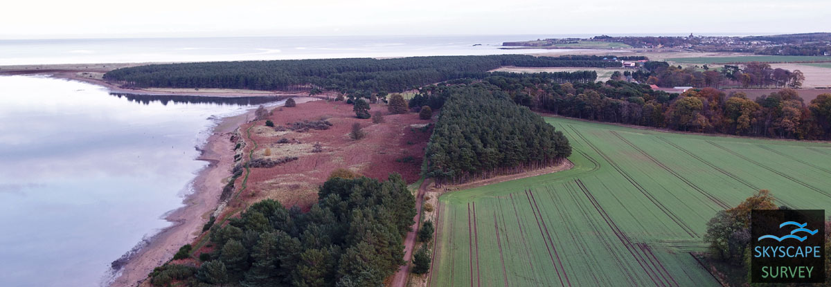
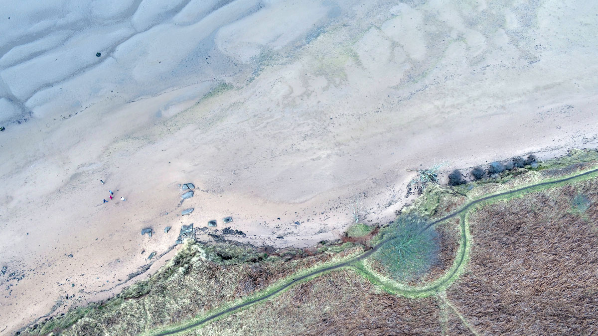
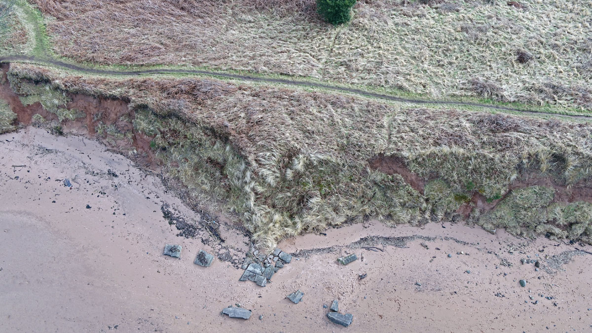
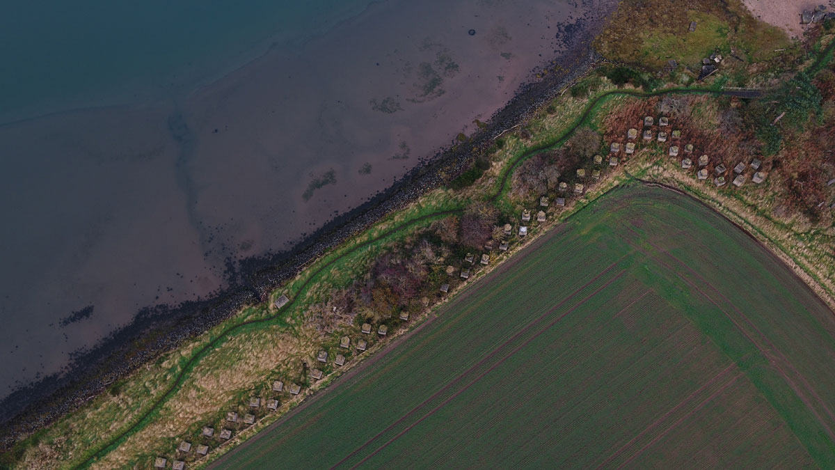
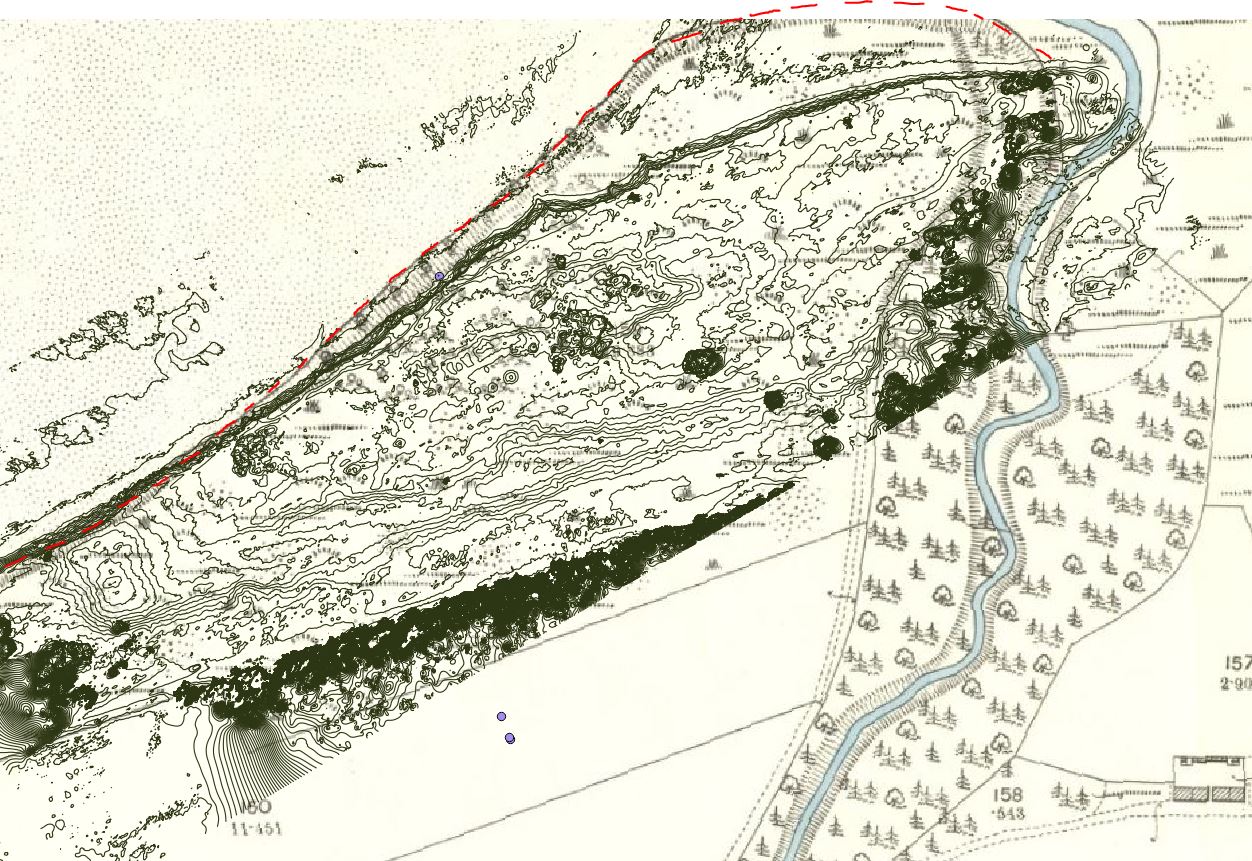
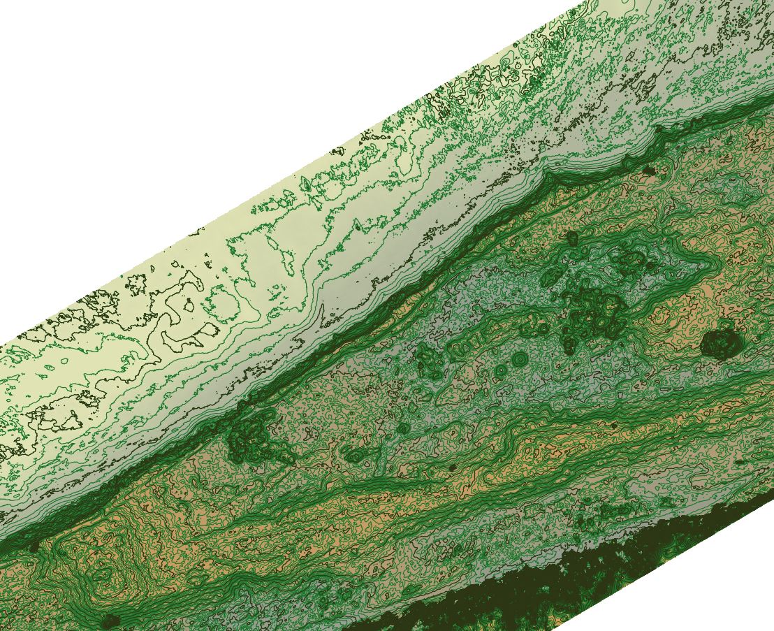
After a number of high tides and storms, the fragile sandcliffs at Hedderwick in East lothian have been collapsing. known sites may be under threat. By tying a coastal erosion survey, topographic imaging and investigation of the soil micromorphology it is hoped to build a picture of past environment, and landscape in addition to how the current high impact of sea levels and storms may threaten our coastal sites. In the process a new World War II command centre was discovered. Part funded by the Prehistoric Society.
.
A topographic survey, and general imaging required to understand the current coastal erosion and relations to past environments. . Aerial imaging was essential to place it into landscape context and provide a detailed survey of the site.
.